
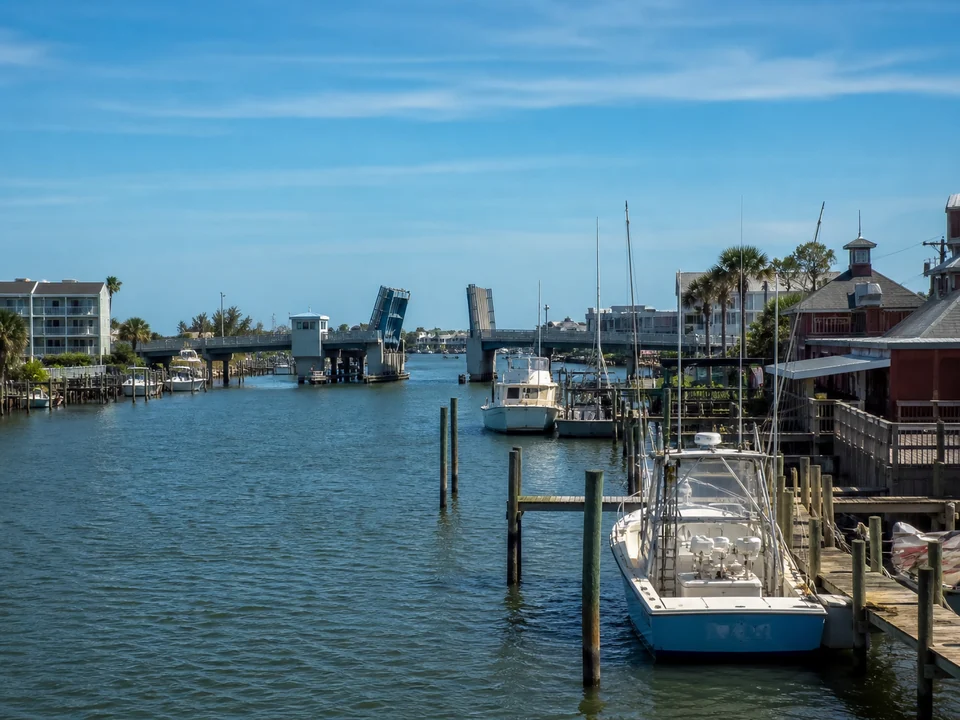
Madeira Beach waterfront decisions start with the lot’s relationship to the water
A property near John’s Pass, along Boca Ciega Bay, on a residential canal, or facing the Gulf can have a different combination of current, wake, navigation, exposure, shoreline form, vessel approach, and construction access.
The property relationship to John’s Pass, Boca Ciega Bay, a canal, or Gulf facing water changes the project conditions. Our trusted local contractor will confirm the parcel and waterbody before determining which service and evaluation path fit the property.
John’s Pass and Boca Ciega Bay can change the working context
Official Madeira Beach planning material establishes the city’s barrier island and bay setting. Near a pass, current, boat traffic, navigation, and open water influence can deserve close attention. In a protected residential canal, working width, neighboring docks, lift clearance, and limited staging can become more prominent.
A Gulf facing edge brings a different exposure and environmental setting. None of these locations proves the condition, recommended method, or permit path for a private property. The contractor will verify the site and explain what matters for the proposed work.
Connect the structure to the right Madeira Beach decision
Wall movement, separation, soil loss, or drainage changes can begin with seawall or shoreline evaluation. Decking, framing, piles, fasteners, or connections can begin with dock repair. Lift noise, uneven movement, cable wear, control problems, or changed vessel data can begin with boat lift evaluation.
For a project affecting several systems, describe the interactions. A dock tied into a wall, a lift supported near aging piles, or drainage crossing a shoreline work area can require coordinated review rather than isolated assumptions.
Use current Madeira Beach and Pinellas resources
Madeira Beach maintains a city Building Department and current permitting document resources. Pinellas Water and Navigation identifies a separate local waterfront layer for specified docks, seawalls, riprap, tie poles, and dredge and fill work.
Depending on the property and proposed footprint, Florida and federal review may also apply. The waterfront contractor will review existing approvals and determine how the current Madeira Beach, Pinellas, Florida, and federal requirements fit together.
Official resources: Madeira Beach permitting update, Pinellas docks and waterfront review, and Florida environmental permitting.
Document access before a proposal is prepared
Record side yard width, gate and utility locations, pools or patios, neighboring structures, seawall transitions, dock geometry, water depth observations, and vessel access constraints. Photograph broad views and close details from stable ground.
For pass or bay influenced properties, note how conditions change with tide, wind, and boat traffic. For canals, note maneuvering space and adjacent structures. These observations guide the site conversation without replacing measurements or professional analysis.
Price and timing follow a defined Madeira Beach scope
Scope can change with water access, demolition, materials, wall or pile condition, drainage, utilities, vessel needs, staging, engineering, environmental resources, and confirmed review requirements.
A written proposal should identify assumptions and exclusions rather than offer a generic price. Permit review time, material lead time, and site duration should be addressed only after the relevant parties and scope are known.
Helpful details for the conversation
Review the Pinellas waterfront guidance, compare seawall, dock, boat lift, and shoreline services, and use the homeowner guides to prepare for warning sign, permit, repair versus replacement, and estimate questions.
For the first professional conversation, have the property city or area, water setting, visible concern, property records, relevant vessel information, and access constraints ready. The professional can request specific photos later if needed.
Frequently asked questions
How can John’s Pass affect a Madeira Beach waterfront discussion?
A pass adjacent setting can elevate current, navigation, boat traffic, exposure, and access questions. The actual property and proposed work still require verification.
Is a residential canal project the same as a bay facing project?
No. Canal width, neighboring docks, lift clearance, and staging can dominate a canal project, while broader exposure and approach can matter more on the bay.
Where should I start with Madeira Beach permit questions?
Your contractor will begin with current City permitting information and Pinellas Water and Navigation requirements, then determine whether Florida or federal review applies to the property and proposed work.
What site access details affect a proposal?
Side yards, gates, utilities, pools, patios, neighboring structures, water side depth, navigation, and material staging can all shape the approach.
Why is there no standard Madeira Beach waterfront price?
Properties differ in structure, access, water setting, engineering, materials, environmental context, and review requirements. A defined scope is needed before price or timing is meaningful.
Information reviewed August 2026. Permit and regulatory information was checked against current official sources.