
Why the exact Palm Harbor property location matters
Palm Harbor is an unincorporated Pinellas County community, not a city government. The local professional will begin with the parcel, mapped jurisdiction, and actual waterbody before relying on county, state, or federal process information.
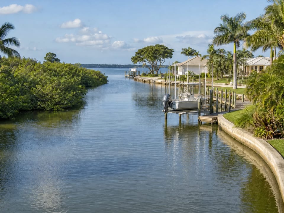
A mailing label can cover properties with very different shoreline relationships. St. Joseph Sound facing areas, bayous, canals, creeks, lakes, and other settings can raise different questions about exposure, navigation, bank form, drainage, vessel use, and equipment access.
Use the waterbody to frame the Palm Harbor concern
County planning material identifies Palm Harbor within the unincorporated mainland shoreline context. That helps explain why county jurisdiction matters, but it does not identify the waterbody, condition, or authorization path for a particular home.
Document whether the property faces open or semi open water, a protected canal or bayou, a river or creek reach, a lake, or another verified setting. Note changes in water level, current, wake, drainage, bank or wall alignment, and access without assigning a cause.
Choose a service by the structure or shoreline question
Settlement, separations, leaning, voids, or soil movement near a retaining wall call for seawall evaluation. Bank recession, bare soil, or recurring washout can lead to a shoreline stabilization discussion. Damaged decking, framing, piles, or connections point to dock repair, while cable, motor, cradle, control, or vessel fit symptoms belong in a boat lift review.
Where systems meet, describe every visible concern and the order in which it appeared. A property specific evaluation can then separate immediate use boundaries from longer term repair, replacement, or installation decisions.
Confirm unincorporated Pinellas responsibilities
Palm Harbor is generally treated as an unincorporated Pinellas community, but the exact parcel and responsible offices still need to be verified. The local contractor will check the current county information, identify the waterbody, and determine which building, waterfront, Florida, or federal requirements apply.
State or federal review can be relevant depending on the proposed work and water resources. Do not assume that a prior approval, neighboring project, or common product establishes the current path for this parcel.
Official resources: Pinellas County Building Services, Pinellas docks and waterfront review, and Florida environmental permitting.
Helpful details for the conversation
If available, keep the property location, survey, waterbody name, structure age, permits or plans, repair history, vessel information, and a short concern timeline ready. If the professional later requests photos, take only stable ground views of the shoreline, transitions, access, drainage, dock connections, and changing conditions.
Keep electrical equipment dry and avoid testing a lift or walking on a structure that appears unstable.
Scope variables in Palm Harbor are property specific
Access through a side yard, over water staging, nearby structures, shoreline length, water depth, utilities, environmental resources, drainage, materials, engineering, and review layers can all change a proposal.
A useful estimate follows a site evaluation and written scope. It should state what is included, what is excluded, what information is assumed, and which decisions depend on an engineer, electrician, surveyor, environmental reviewer, or authority.
Continue through the Pinellas decision path
Review the Pinellas waterfront guidance, compare seawall, dock, boat lift, and shoreline services, and use the homeowner guides to prepare for the discussion with the local contractor.
Frequently asked questions
Is Palm Harbor its own municipal building jurisdiction?
Palm Harbor is generally treated as an unincorporated Pinellas community. Our trusted contractor will verify the parcel on current county maps and confirm the building and waterfront review offices responsible for the proposed work.
What water setting should I identify for a Palm Harbor property?
If you know whether the property faces a sound, bayou, canal, creek, lake, or another waterbody, include that with your request. The contractor will verify the setting and evaluate the exposure, drainage, navigation, and access conditions that matter to the project.
When should I request seawall, dock, lift, or shoreline help?
Use the affected system as the starting point, but describe adjacent conditions too. A property specific evaluation can determine whether more than one specialty should be coordinated.
What records make a Palm Harbor estimate more useful?
A survey, prior permits, plans, repair history, vessel specifications, clear photos, and a dated concern timeline can reduce avoidable uncertainty.
Does a nearby project prove my approval path?
No. Parcel, waterbody, resources, existing approvals, and proposed scope can change which county, state, or federal reviews apply.
Information reviewed August 2026. Permit and regulatory information was checked against current official sources.